
LiDAR Mapping & Surveying in North Texas
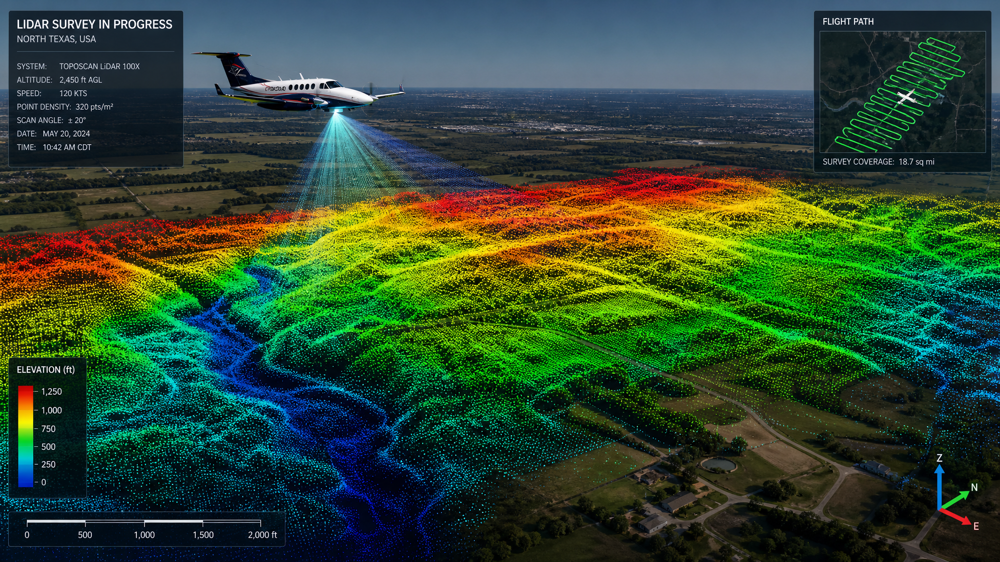
NorthStar Drone Co. delivers survey-grade LiDAR mapping and surveying throughout North Texas. Using aircraft-mounted laser scanners, we capture millions of precise elevation points per second to produce sub-centimeter-accurate topographic data for engineers, surveyors, and developers across the Dallas–Fort Worth metroplex.
Professional Drone LiDAR Mapping Across North Texas
Traditional ground surveys are slow, costly, and often incomplete on complex terrain. Our drone-based LiDAR platforms fly your site in a fraction of the time and return a dense, geo-referenced point cloud that captures every contour, structure, and grade change. Whether you are mapping a raw development parcel outside Frisco or a live corridor through Dallas, we deliver engineering-ready deliverables you can drop straight into your design workflow.
Sub-Centimeter Accuracy for Demanding Projects
LiDAR penetrates vegetation where photogrammetry cannot, producing true bare-earth models even under heavy tree canopy. We pair every flight with ground control and RTK/PPK positioning to guarantee survey-grade accuracy. Deliverables include classified point clouds (LAS/LAZ), digital terrain and surface models, contour lines, and volumetric reports — formatted to your specification.
Serving Engineers, Surveyors & Developers in Texas
From civil engineering firms to mining and aggregate operations, our North Texas clients rely on NorthStar for fast, defensible elevation data. We serve Dallas County, Tarrant County, Denton County, Collin County and Wise County and the surrounding communities, mobilizing quickly to keep your project timeline on track.
Why Choose NorthStar
- Sub-centimeter vertical accuracy with ground control
- Bare-earth models through dense vegetation
- Classified point clouds in LAS/LAZ, plus DTM/DSM exports
- Volumetric stockpile and earthwork analysis
- Dramatically faster and safer than ground crews
- Local North Texas team with rapid mobilization
Common Applications
- Topographic surveys for site design
- Volumetric measurement of stockpiles and pits
- Corridor mapping for roads, rail and utilities
- Floodplain and drainage modeling
- As-built verification and grading analysis
- Vegetation and canopy analysis
LiDAR Mapping Pricing in North Texas
Pricing varies by project scope and site conditions. Contact us for a precise, no-obligation quote.
Serving All of North Texas
We provide lidar mapping services across the Dallas–Fort Worth metroplex and surrounding communities.
Frequently Asked Questions
How accurate is drone LiDAR mapping in North Texas?
With ground control and RTK/PPK positioning, our LiDAR surveys deliver sub-centimeter to 2–3 cm vertical accuracy — suitable for engineering design and construction across Texas.
What deliverables do I receive?
You receive classified point clouds (LAS/LAZ), digital terrain and surface models, contours, orthomosaics, and volumetric reports in the format your team requires.
Can LiDAR see through trees?
Yes. Unlike photo-based mapping, LiDAR pulses penetrate gaps in vegetation to build accurate bare-earth models even under heavy canopy.
Explore More Services
Ready to Get Started in North Texas?
Contact NorthStar Drone Co. today for professional lidar mapping & surveying services across North Texas. Fast scheduling, licensed pilots, and data you can trust.